Hiking Near Boston for Those Who Love Adventure
Living in the city doesn’t have to mean pounding the pavement all the time. Here are places for hiking near Boston that are worth the sweat for when you’re ready to hit the trails again.
Coffee By Design | Portland, Maine
Photo Credit : Katherine KeenanThink that hiking near a city equates to wandering flat meadows, paved bike paths, and subtle hills? Not necessarily. Sure, there are plenty of places to enjoy the outdoors in and around the city of Boston, from beautiful islands to hills skirting the city with lovely skyline views. But for those looking for some hiking near Boston that presents a challenge similar to that of the mountainous range in the western half of the state, don’t fret! These trails and mountains less than two hours from the city will satisfy adventurous folks looking to work up a sweat or discover worthwhile summit views.

Photo Credit : Cathryn McCann
Hiking Near Boston for Adventure Lovers
Here are five of our favorite places near Boston (75 miles or less) to get out on the trails and do some hiking, plus some extra challenges for those looking for a full day of adventure.
Middlesex Fells Reservation | Stoneham, MA
Miles from Boston: Six
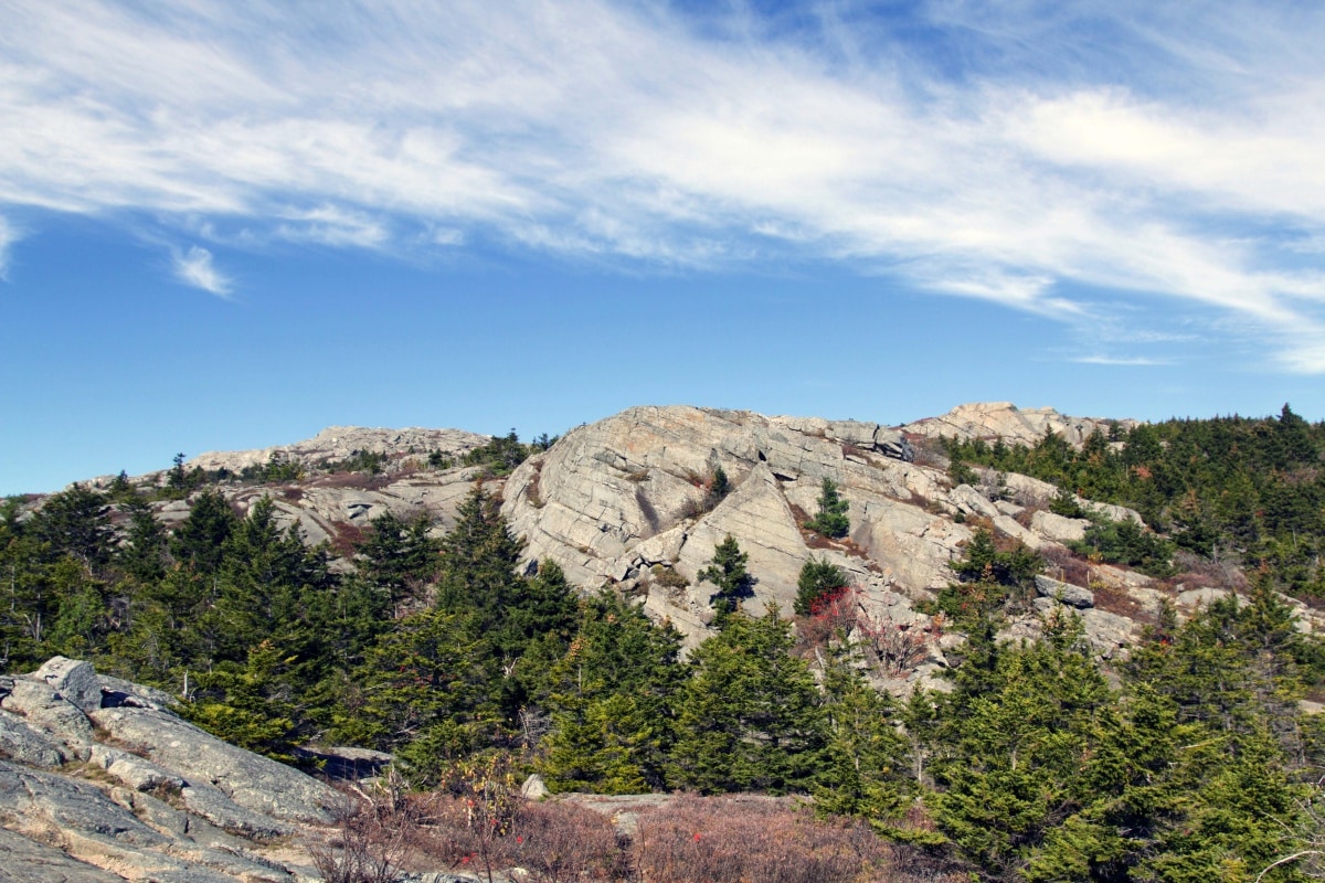
Description: With 2,575 acres, a range of terrain, and a no-excuses travel distance from Boston, Middlesex Fells Reservation is a great destination for outdoor activities of all kinds. There are a number of beautiful natural features at the Fells, including Sheepfold Meadow, a 10-acre open field, and Wright’s Tower, which looks out over the Boston Basin, plus ponds and plenty of wooded areas.
Add a challenge: The Rock Circuit Trail, marked by white blazes, is a difficult hike that traverses rocky outcrops in the corner of the reservation. The nearly five-mile treacherous climb rewards hikers with excellent views.
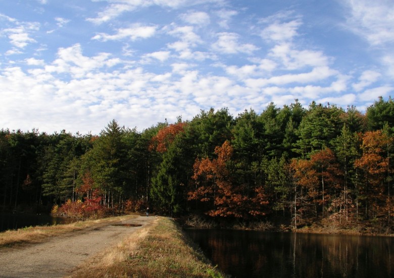
Photo Credit : Wikimedia Commons
Great Blue Hill | Milton, MA
Miles from Boston: 18
Description: Great Blue Hill (635 feet), just south of Boston, is the highest peak in the Blue Hills Reservation and also the highest summit south of Maine that’s near the Atlantic Ocean. In just about two miles round-trip on the moderately challenging Red Dot Trail, hikers can summit Great Blue Hill and visit Eliot Tower and the Blue Hills Observatory. Additionally, the reservation has 125 miles of trails with a range of easy to rugged terrain, so there are plentiful opportunities to add on to your hike.
Add a challenge: Hike the Skyline Trail in the Blue Hills Reservation from end to end. The trail is nine miles from start to finish, and offers a fantastic view of Boston’s skyline.
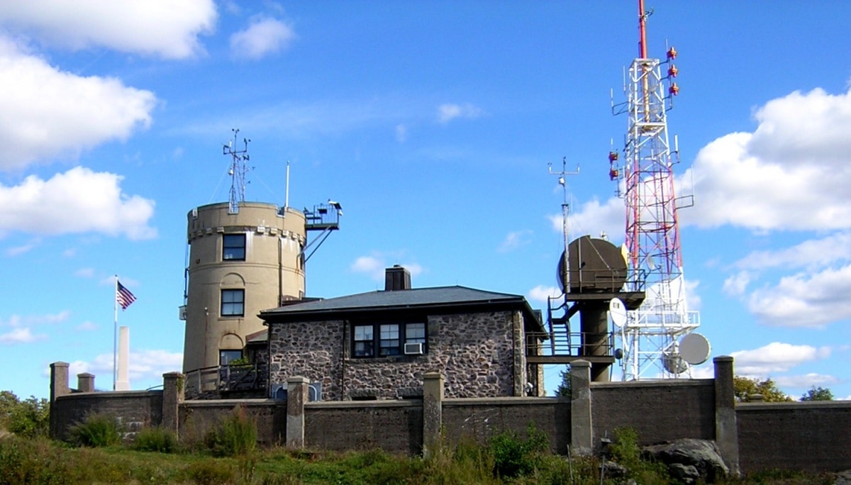
Photo Credit : James Woodward/Wikimedia Commons
Wachusett Mountain | Princeton, MA
Miles from Boston: 57
Description: At 2,006 feet, Wachusett Mountain is the highest peak within a reasonable traveling distance from the city. The versatile mountain, with its 3,000-acre reservation, is a great, family-friendly destination with easy hiking, and well-marked trails, plus beautiful forests, meadows, streams, and ponds. The Wachusett Mountain State Reservation Loop Trail is a three-mile hike linking a number of different trails, while the Harrington Trail is one of the longer direct-to-summit trails, and Mountain House Trail is a half-mile steep climb. With 17 miles of trails and northern views of Mount Monadnock, western views of the Berkshires, and eastern views of the Boston skyline, Wachusett Mountain makes for a rewarding day trip.
Add a challenge: Explore the 12 miles of trails at the nearby Wachusett Meadow Wildlife Sanctuary and summit 1,312-foot Brown Hill.
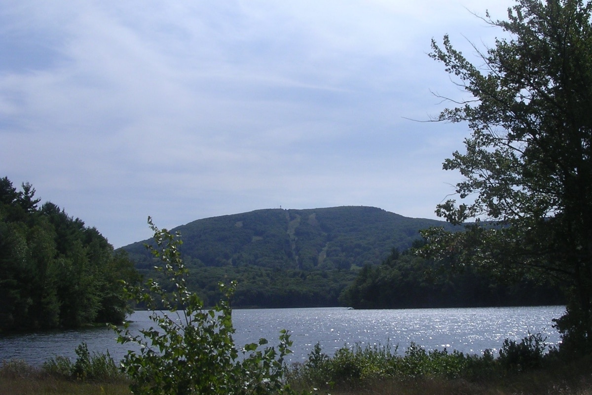
Photo Credit : John Phelan/Wikimedia Commons
Mount Watatic | Ashburnham, MA
Miles from Boston: 57 miles
Description: At the southern end of the Wapack Mountain Range, Mount Watatic is a 1,832-footer just south of the Massachusetts–New Hampshire border. Once a ski resort, the mountain is now a popular hiking destination featuring two bald summits with views north toward the Monadnock Region and south toward the city. Hikers can opt for a roughly two-mile round-trip hike directly to the summit via the Wapack Trail or a four-mile loop hike via the Nutting Hill Trail.
Add a challenge: Tackle a thru-hike. The Wapack Trail is just over 21 miles and runs north-south over six mountains (none above 2,300 feet) from Ashburnham, Massachusetts, to Greenfield, New Hampshire.
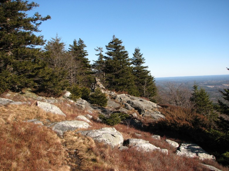
Photo Credit : Wikimedia Commons
Mount Monadnock | Jaffrey, NH
Miles from Boston: 75
Description: The most popular trek up to the 3,165-foot summit of southern New Hampshire’s Mount Monadnock is via the steep 3.8-mile (round-trip) White Dot Trail. Some rocky areas of the trail do require scrambling, but there’s a reason the mountain is one of the most hiked in the world: Hikers are afforded fantastic views from the bald summit. The 5,000-acre state park does have more than 40 miles of hiking trails and multiple ways to tackle the summit, so grab a map and choose your desired length and difficulty.
Add a challenge: Summit another mountain. In neighboring Peterborough, New Hampshire, 2,290-foot Pack Monadnock in Miller State Park is the highest peak in the Wapack Mountain Range and offers views all the way back to Boston.
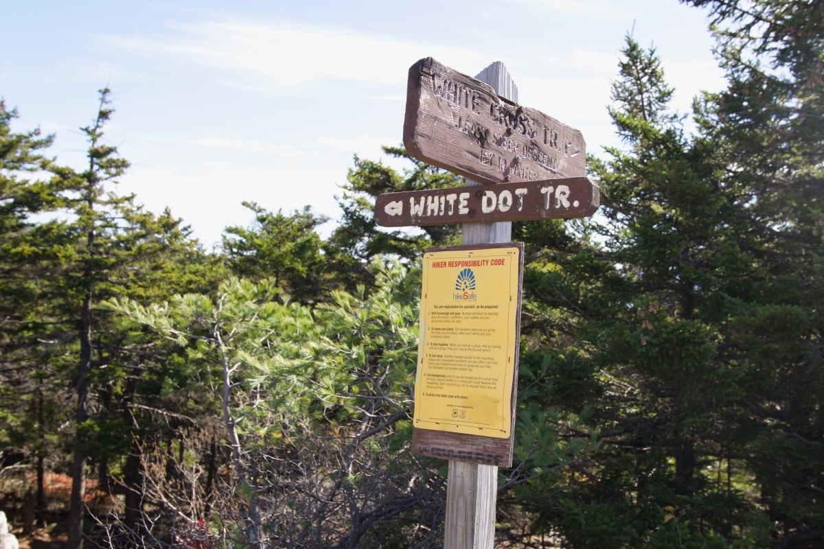
Photo Credit : Cathryn McCann
Where’s your favorite place to do some hiking near Boston? Let us know in the comments!
This post was first published in 2018 and has been updated.


The Great Blue Hill hike can’t include the Eliot Observation Tower for a while…a renovation project for it has just begun,so it is closed. A swell hike is also available at nearby Ponkapoag Pond,with several parking areas available for access in Canton,Milton and Randolph. We like the Ponkapoag Golf Course location best.