Gulf Hagas, the Incredible ‘Grand Canyon of Maine’
Gulf Hagas, a beautiful slate gorge with a series of waterfalls and towering rock walls, is still a relatively unknown Maine destination to many. Plan a visit for when you’re ready to travel again.
Coffee By Design | Portland, Maine
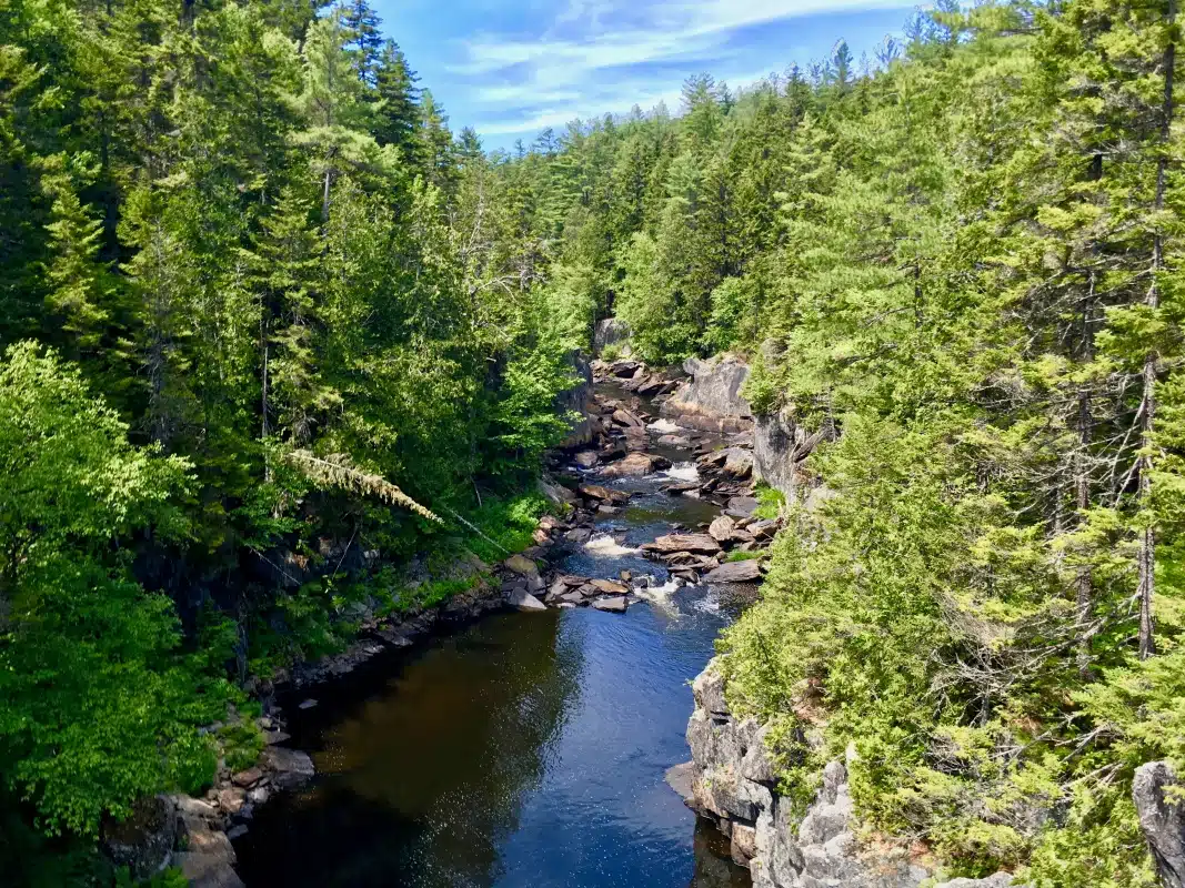
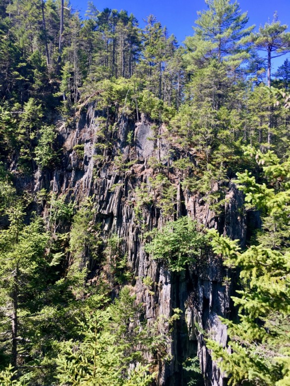
Photo Credit : Katherine KeenanA slate gorge carved by the West Branch of the Pleasant River near Brownville, Maine, Gulf Hagas is a roughly three-mile-long stretch of rock walls that tower over the river rushing nearly 500 feet below. Nicknamed “the Grand Canyon of Maine” — and even “the Grand Canyon of the East” — it’s found along the northern stretch of the Appalachian Trail and features a network of trails, incredible rock formations, and a series of beautiful waterfalls.
Read the sign at the Gulf Hagas trailhead, and you’ll find this 1995 quote by Appalachian Trail ridge runner Ron Curtis: “Gulf Hagas is an unknown area to many folks, and it belongs to everyone. Everyone should see it to foster the feelings of protecting an everlasting wild place.” Years later, the quote still resonates.
Intrigued by the idea of a Grand Canyon in New England? Here’s what to expect if you make the trip.
Exploring Gulf Hagas in Brownville, Maine
In just under nine miles of hiking, you can see all that Gulf Hagas has to offer. There are two ways to complete the Gulf Hagas rim loop: from the Head of the Gulf to Screw Auger Falls and back, and vice versa. Those who choose to start from the east trailhead (Screw Auger Falls to the Head of the Gulf) should park in the Gulf Hagas parking area; those who prefer to start at the west trailhead should head to the Upper Gulf parking area, which is several miles farther up the road.
Either way, visitors must stop at the gatehouse on Katahdin Iron Works Road to register and pay the daily fee. If you choose to start from the east trailhead, be prepared to wade across the West Branch of Pleasant River. Although sometimes only ankle-deep in the summertime, the water can get waist-high with a strong current in the springtime. Hikers can avoid any river crossings by starting from the west trailhead.
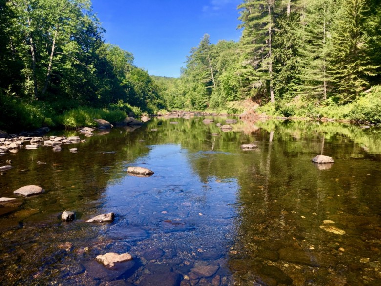
Photo Credit : Cathryn McCann
From the east trailhead: After wading across the river, follow the Appalachian Trail (marked by white blazes) several miles to the Gulf Hagas Rim Trail (marked by blue blazes). The Rim Trail is three miles long and leads to many lookout points, waterfalls, and swimming holes. The trails are well marked, but it’s a good idea to purchase a $2 map at the Katahdin Iron Works Road checkpoint.
The Rim Trail itself is on the moderate side of difficult. It’s well traveled and relatively flat, but it does have some trickier terrain and plenty of “balance-beam bridges.” To complete the full nine-mile loop, follow the Rim Trail out and Pleasant River Tote Trail back. For those who prefer a shorter trip, there are two trail cutoffs along the Rim Trail.
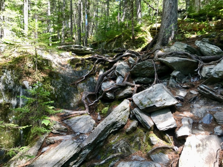
Photo Credit : Cathryn McCann
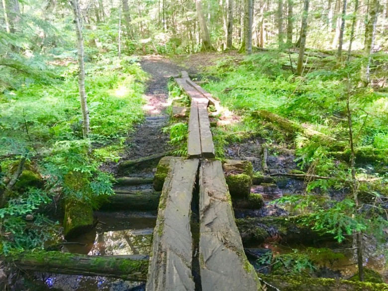
Photo Credit : Cathryn McCann
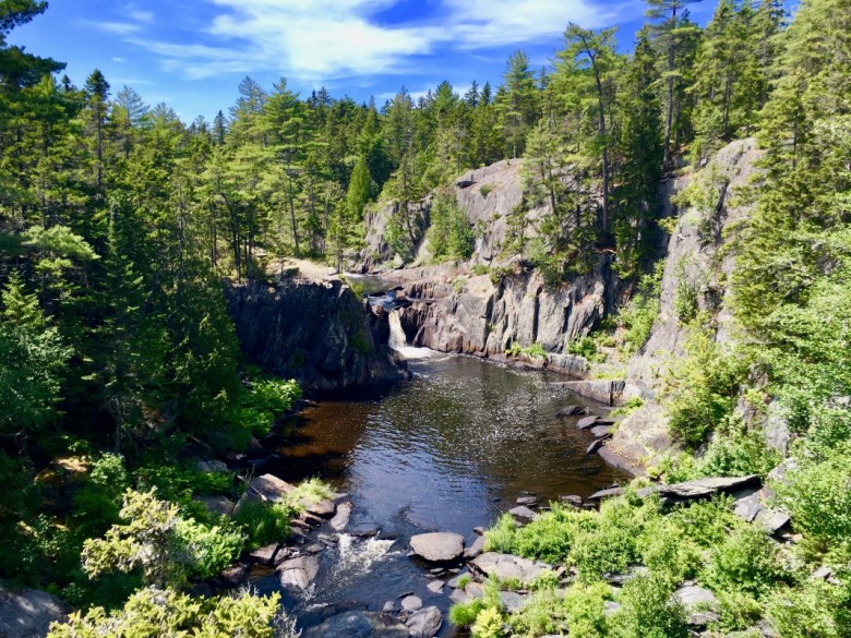
Although there are lots of waterfalls and swimming holes along the Rim Trail, Screw Auger Falls is certainly one of the more magical sights. At the falls, Gulf Hagas Brook plunges nearly 25 feet to a deep and dark circular pool surrounded by a tall rock wall.
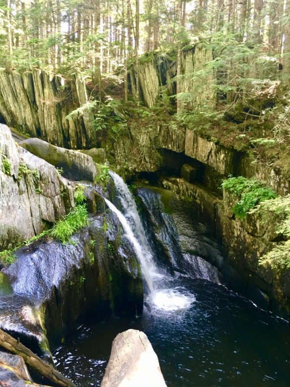
Photo Credit : Cathryn McCann
If after hiking for a while you start to wonder why Gulf Hagas is considered the “Grand Canyon of Maine,” you’re likely only moments away from stumbling upon the view of the massive slate gorge.
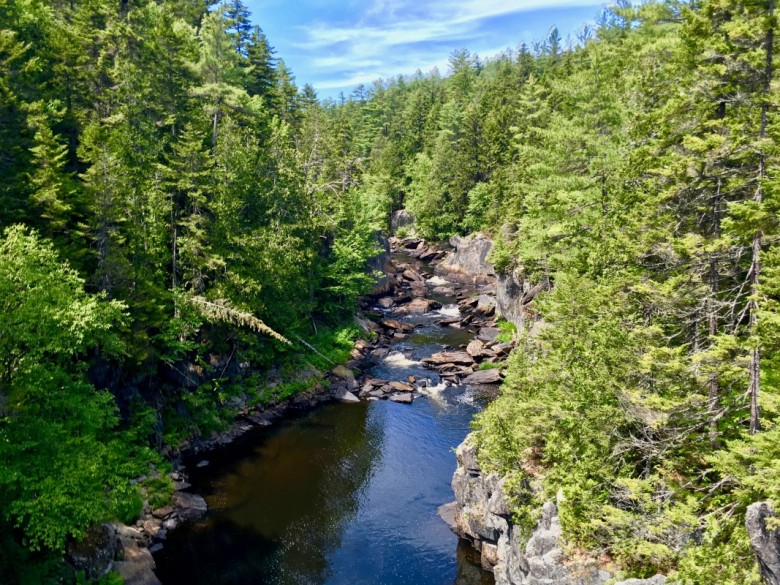
Photo Credit : Cathryn McCann
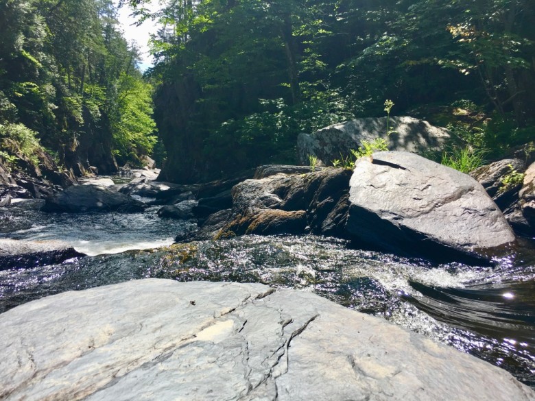
Another great element to this hike is “the Jaws,” a pair of rock walls that nearly bridge the gorge at a narrow point in the river. And, of course, there are plenty of waterfalls to see. If you clamber down to the base of Buttermilk Falls, there are big flat rocks to sit on; have some water, a snack, or lunch while overlooking the deep pool of water into which the cascade plunges.
If you prefer the view from above, there are a number of large rock ledges where you can stop and take in the view.
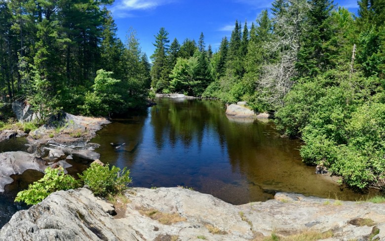
Regardless of where you start or end, be sure to check out the Head of the Gulf, a beautiful scene with wide-open pools of water, jagged rocks, and small cascades.
Gulf Hagas | If You Go:
- Gulf Hagas is part of the Appalachian Trail corridor, in the northern stretch called the Hundred-Mild Wilderness (so named for being the difficult and remote last 100 miles of the trail). Expect to meet AT hikers tackling the final part of their journey!
- The trailhead is accessed by driving through Katahdin Iron Works in central Maine, a state park and historic site where iron ore was once produced.
- The Rim Trail passes through the Hermitage, one of the last remaining virgin old-growth forests in New England. You’ll find a plethora of soaring white king pines (and maybe even a moose).
- The hike can take all day, depending on your speed. Pack for a full day of strenuous hiking, which means bringing plenty of water and food. Dress appropriately for the season. Hiking boots or shoes with good tread are a necessity, since the rocks and bridges can get slippery.
- Don’t cross the river from the east trailhead if the water is too high or current too strong. Hike in from the west trailhead instead.
Have you ever been to the Grand Canyon of Maine? Let us know!
This post was first published in 2017 and has been updated.

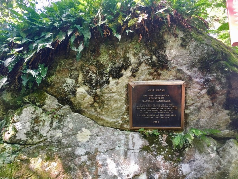
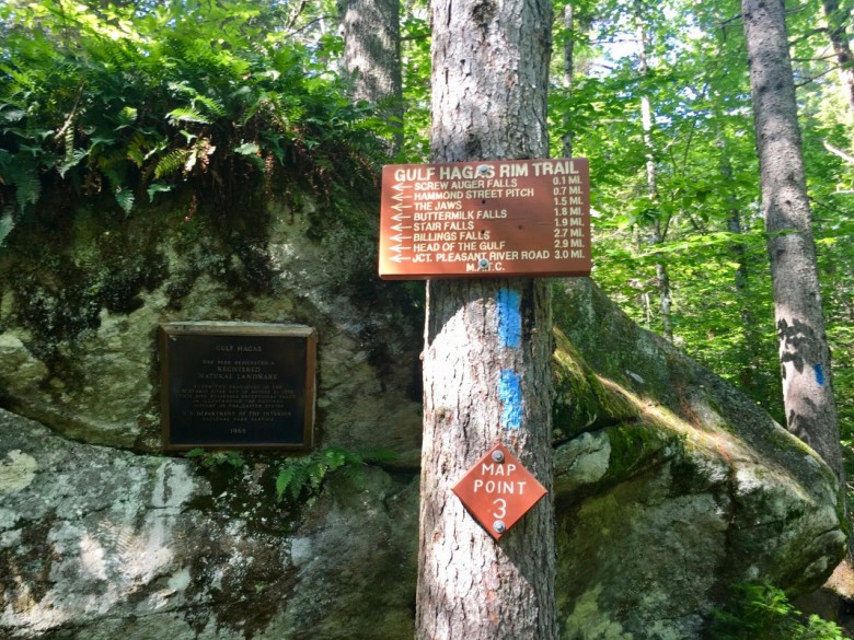


sure wish you would would include a small outline map with your destination articles for those of us who are not familiar with Northeast locations.
This trail is no joke and not clearly marked in some places. Had trail map given at checkpoint entrance, but encountered some dead ends.Met 4 other people who were lost…do no recommend going alone or with at least letting someone know of your plan. Can be treacherous in some spots. Must wear good hiking boots, bring water, pace yourself and start early.