Block Island Greenway Trails
Visitors can walk along greenways that make up a trail system that comprises 28 miles–on an island of 10 square miles a dozen miles out in the Atlantic.

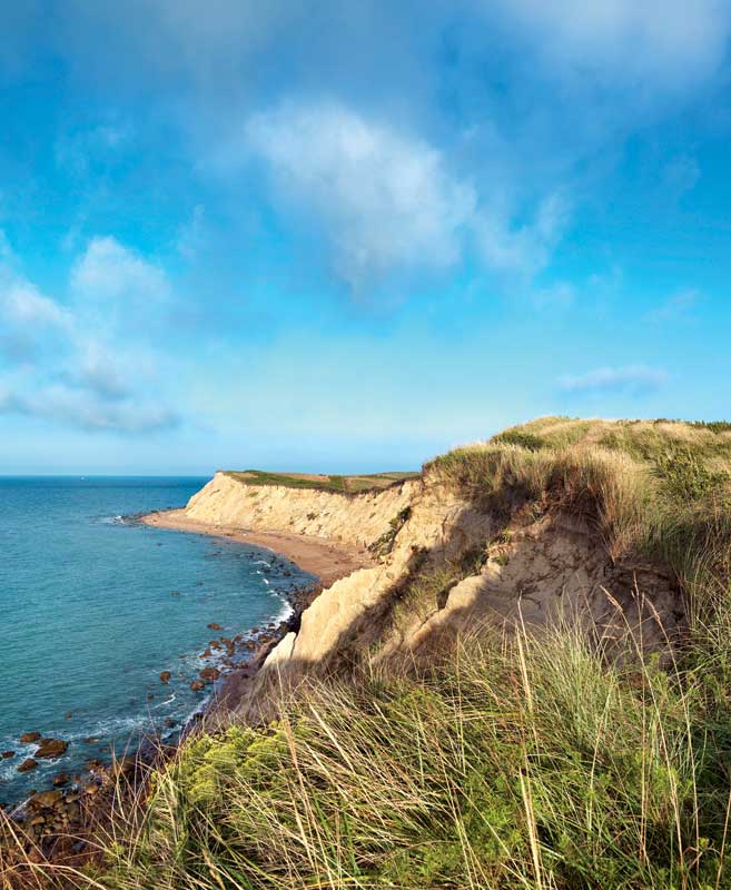
Cliffs above Black Rock Beach.
Photo Credit : Rea, NatA spectrum of sounds greets the walker on one of Block Island’s Greenway trails: in the foreground, the tin-whistle song of a yellow warbler; in the middle range, the soft push of a breeze passing through a canopy of trees and bayberry; beneath it all, the low-frequency thrum of waves crashing in the distance. The woods give way to coastal shrubbery–some of the most exemplary on the East Coast–and the walker alights upon a deserted beach.
This is merely one potential scenario in a trail system that comprises 28 miles–on an island of 10 square miles a dozen miles out in the Atlantic. With its undulating topography and green hills rolling toward an azure sea, Block Island has been called “the Bermuda of the North.” Indeed, The Nature Conservancy deemed Block Island one of the “Last Great Places.”
In the past four decades, a trio of conservation groups, including TNC, has succeeded in protecting 45 percent of Block Island’s open space, and that number continues to grow. The question arose: What would be the best way for the public to enjoy these unspoiled meadows and vistas? In the late 1980s, inspired by the walking trails of England, former TNC staffer Keith Lang suggested a similar set of trails on Block Island.
Two decades later, the “greenways” crisscross the island, from the tangle of trails known as “The Maze” at Clay Head to the natural amphitheater of Rodman’s Hollow and down to the remote southern beach, Black Rock. Now you can traverse most of the island–seven miles long and three miles wide–north to south, east to west, entirely via the Greenway network. Need a map? Stop by TNC’s Block Island offices on High Street, or the Chamber of Commerce right off the ferry.
For more information: block-island-family-vacation.com/hiking.html


