Magazine
Drive-to-the-Top Mountains
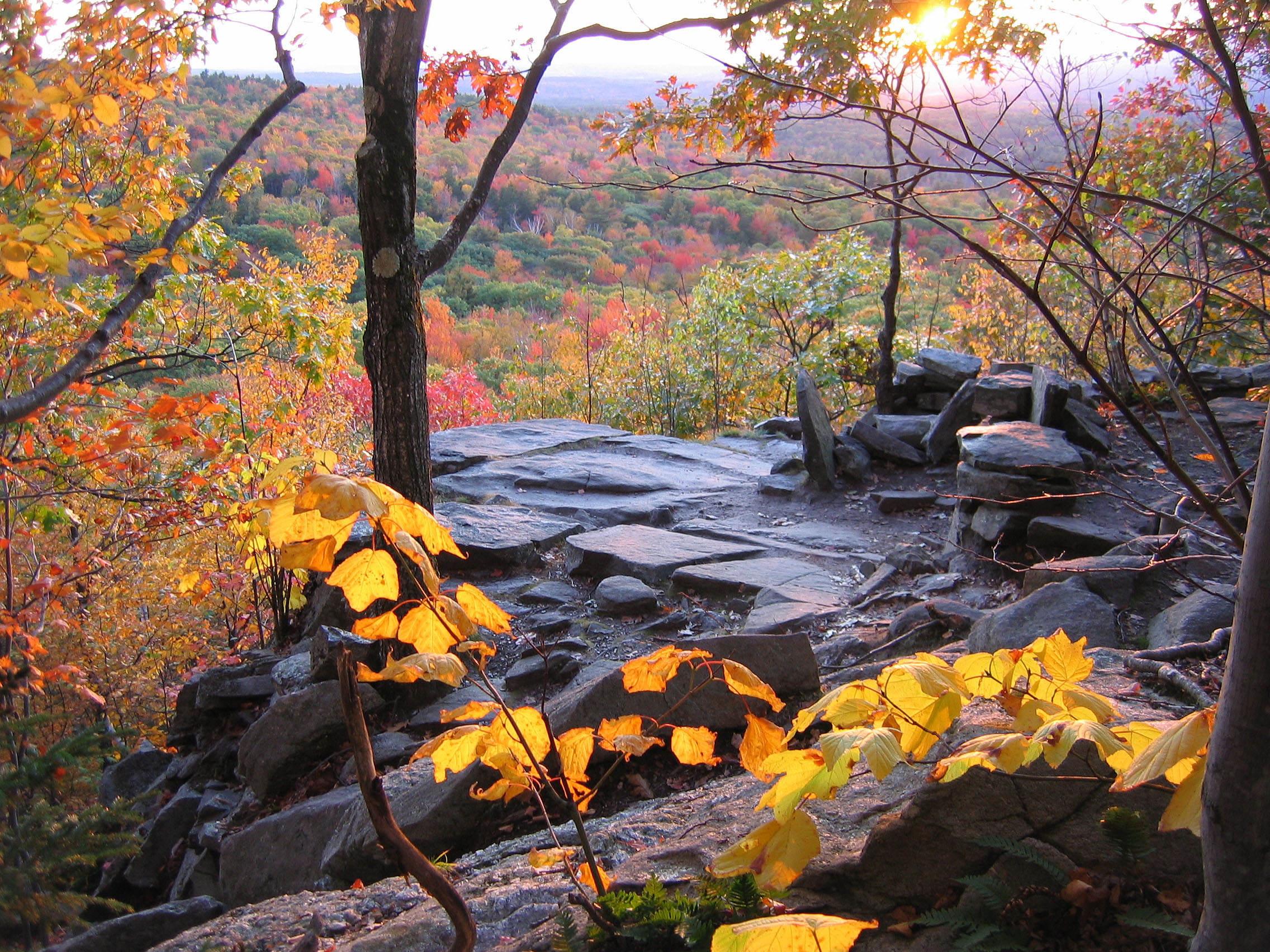
There are times when being there beats getting there by a long shot. We want our foliage vistas, and we want them now — so, onward and upward, in our cars. Herewith, a rundown of nine New England mountain summits attainable by auto road. Some are among the region’s loftiest and most majestic mountains; others […]

Coffee By Design | Portland, Maine
Photo Credit : Katherine Keenan
Mount Greylock, MA
Rockwell Road, the eight-mile route to the highest point in the Berkshires — and in Massachusetts — begins at the Mount Greylock Reservation Visitor Center in Lanesboro. Views from the 3,491-foot summit stretch across the Taconic Range and southern Green Mountains, and far to the east beyond the Hoosic River. This is mostly hardwood forest, and the colors are intense in early October. Bascom Lodge on the summit has both private and bunk-room overnight accommodations. At the tippy-top of Greylock is a 1932 war memorial tower that looks like an upside-down Art Deco golf tee. Mount Greylock Reservation 413-499-4262 (413-743-1591 for Bascom Lodge reservations) Rte. 7, Lanesboro, MA 01237Pack Monadnock Mountain, NH
The road in Miller State Park to the top of New Hampshire’s “other” Monadnock is only 1.2 miles long, but the 2,290-foot summit offers uninterrupted 360-degree views, carpeted with color in autumn. Climb to an observation platform on a radio tower to see Mount Monadnock, Vermont’s Green Mountains, and Mount Wachusett in Massachusetts. On a clear day, you can make out the Boston skyline, 55 miles distant. Miller State Park 603-924-3672 Rte. 101, Peterborough, NH nhstateparks.com/miller.html
Mount Washington Auto Road, NH
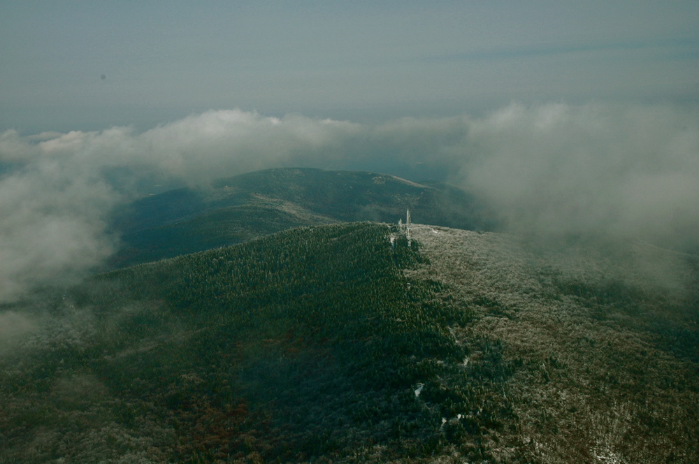
Superlatives reign on the Northeast’s highest peak. At 6,288 feet you’ll find the strongest wind speeds on earth, the worst weather in New England, and the oldest man-made attraction in the United States. That’s the eight-mile auto road, which has been open since 1861 (horses took four hours; you’ll take about a half hour each way by car) and which can tug at the nerves of the squeamish with its narrow, guardrail-free route to the clouds. On roughly one day out of three, vistas from the summit range 30 to 40 miles; when it’s really clear, you’ll see beyond the Green Mountains to New York’s Adirondacks and all the way to the Atlantic Ocean in Portland, Maine. At the summit is the renowned Mount Washington Observatory and its interesting little museum. Foliage isn’t much of an issue up here, as you’re way above treeline, but the views of it from here rank among the best. Mount Washington Auto Road 603-466-3988 Rte. 16, Gorham, NH (Pinkham Notch) mountwashingtonautoroad.com/Mount Agamenticus, ME
Located near the southern tip of Maine’s long coastline, 691-foot Agamenticus looms over the town of York and its beaches, offering views of the ocean and of the dappled forests of the Maine and New Hampshire hinterlands. The road is only a little more than half a mile long and ends at an odd stone cairn that is said to mark the grave of St. Aspinquid, a 17th-century Native American medicine man. If you’re not venturing farther north to our next two Maine coastal mountains, this is a great place to watch the sunrise. Mount Agamenticus 207-361-1102 Mountain Rd., York, ME (left turn off Rte. 1, north of York Beach, heading north) agamenticus.orgMount Battie, ME
This is one of the finest vantage points on Maine’s midcoast — an easy, 1.6-mile drive through a state park to an 800-foot summit that looks out over all creation — or at least that part of it blessed with a Penobscot Bay address. Beyond the white spires of Camden, set against fall colors, you can look out across Vinalhaven, Deer Island, and Isle au Haut, with Blue Hill in the distance. For an even better vantage point, climb the squat stone tower that has stood on the summit for nearly 80 years. Camden Hills State Park 207-236-3109 Rte. 1, just north of Camden, ME stateparks.com/camden_hills.htmlCadillac Mountain, ME
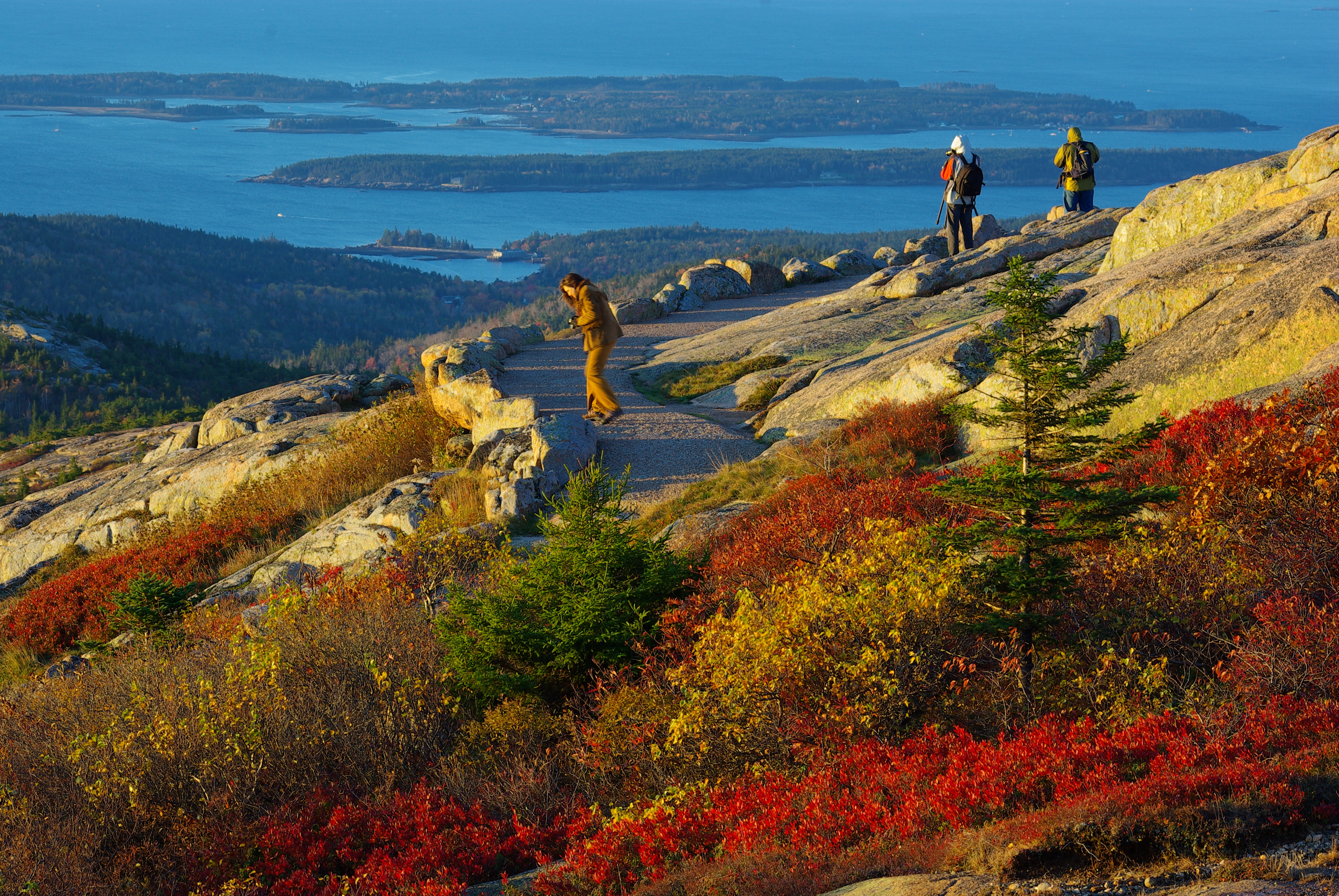
Good morning, sunshine — this is the place to go when you want to be first in the United States to greet the first rays of dawn. The Cadillac summit road winds for just over two miles to the windblown, pink granite, 1,530-foot crest that stands as the East Coast’s loftiest spot. Along with that first glimpse of the sunrise (you’ll share it with a small throng; after all, this is popular Acadia National Park) are sweeping vistas of Bar Harbor, the islands of Frenchman’s Bay, the Schoodic Peninsula, and the vast Maine blueberry bushes, which in autumn turn fire-red. Mount Katahdin stands over 110 miles to the north-northwest, just in case conditions are optimal, but there’s nothing wrong with being content with that salt-sprayed realm directly below. Acadia National Park 207-288-3338 Rte. 3, Bar Harbor, ME acadiamagic.com/CadillacMountain.html


One “almost to the top” that you can drive or climb is Castle in the Clouds (http://www.castleintheclouds.org) in Moultonborough, NH. Spectacular maple trees make the drive well worth it.
A climb to,and time spent at the “Castle” is fantastic !!
Bascom Lodge is now managed by the Bascom Lodge Group (www.bascomlodge.net).
The Appalachian Mountain Club stopped managing the Lodge a few years back.
I plan on coming to New England for about 7+ days with a friend and my mother. We are flying into Boston, renting a car and then free to do what we like. We all love nature, seeing the sites and not sitting to still for very long so we can take it all in. We have had one suggestion of going south to Newport, Cape Cod etc. The other to go north Bar Harbor, White Mountains, Green Mountains, Berkshires and back to Boston. I guess there is no way to get it all in one trip, will give us an excuse to come back! But any suggestions would be great! Mom is in great shape and loves to get around, just FYI….
I recently drove to the top of Wachusett Mountain and expect that it will be wonderful when the observation tower is complete. It appears that it will even be handicap accessible.