11 Magical New England Coastal Walks
From the famous ocean walks of tourist hubs Newport and Ogunquit to lesser-known paths though wilder landscapes, here are 11 magical New England coastal walks.
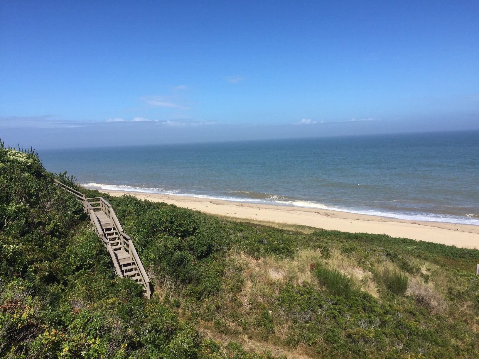
Empty stretches of prime Nantucket beach are part of the Bluff Walk’s unrivaled scenery.
Photo Credit : Ian AldrichFive of New England’s six states touch the Atlantic Ocean, and in each of them you’ll find ocean walks that range from private and wild to famous and bustling. Hoping to get out for a seaside jaunt this year? These 11 magical New England coastal walks offer a dreamy opportunity to combine exercise with fresh ocean air.
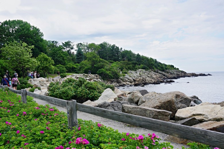
Photo Credit : Aimee Tucker
11 Magical New England Coastal Walks
Marginal Way | Ogunquit, ME
To most, the Marginal Wayis Ogunquit. Take a deep blue breath of Atlantic air and step onto the famous path, which winds from Ogunquit Beach to tiny Perkins Cove, a collection of onetime fishing shacks now refurbished as shops and restaurants. Nearly 40 benches face the horizon, engulfed by beach roses, or sit sequestered in a cedar grove, or perch on the cliff’s edge. There’s a bench for every mood, every season, every conceivable kind of vista. Deeded to the town in 1923 by Josiah Chase, a retired lawyer from Portland, Maine, the granite-cliff pathway was added to over time by abutters who contributed easements to create the stretch of path we know today: an easy mile-plus meander. Start near Ogunquit Beach and search for tucked-away Wharf Lane if you want a sneak preview, or duck down the “official” trail entrance near the Sparhawk Oceanfront Resort. Some know the landmarks like their own children: Little Beach, Mother’s Beach, Devil’s Kitchen, the Marginal Way Lighthouse (with online daily views from a webcam). The Marginal Way’s popularity and its place of pride in Ogunquit make it so much more than an ordinary tourist stroll.
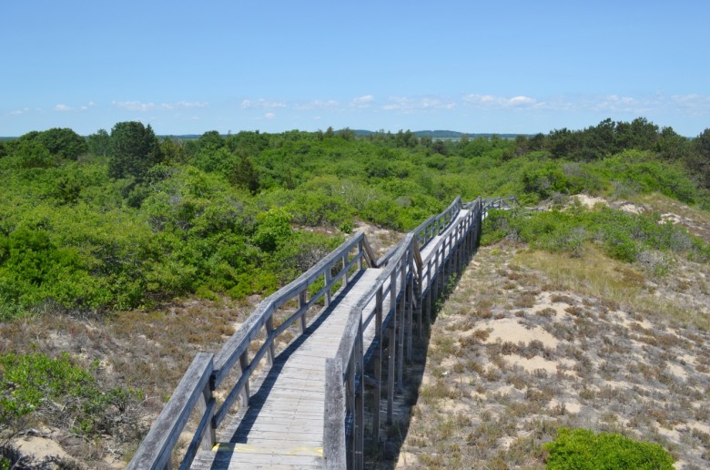
Photo Credit : Aimee Tucker
Parker River National Refuge | Plum Island, MA
Home to hundreds of species of birds, plants, and animals on a whopping 4,662 acres, Parker River National Refuge on Plum Island, a barrier island off Massachusetts’s North Shore, is a favorite spot for cyclists, nature lovers, and anyone seeking a little peace and quiet. Plum Island is on a migratory route for many birds and is also a nesting area for piping plovers, an endangered species of shorebird. Both give the island an esteemed reputation among birders and conservationists.
Bluff Point State Park | Groton, CT
When you walk the inviting carriage road alongside the Poquonnock River estuary at Bluff Point State Park, in just a few steps, everything is left behind. Hikers, joggers, cyclists, parents with strollers, and even horseback riders find footing on a broad, mostly flat and unobstructed path leading, a mile and a half ahead, to the bluff and its airy panoramas of river and ocean. Despite sporadic traffic at the small regional airport across the estuary, the prevailing sound is only wind through the trees. Side paths offer hikers more challenging, mildly hilly treks; alternatively, beachcombers can veer off toward a narrow, mile-long sandspit. Views of gulls and ducks, distant islands and New London Ledge Light, glacial rock and stone walls, salt marshes and towering oaks, and a path for every pace — this is Bluff Point.
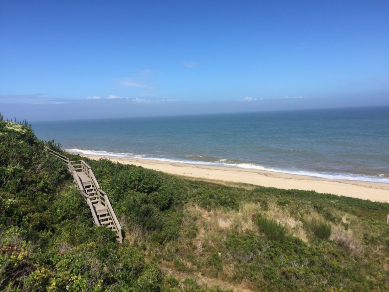
Photo Credit : Ian Aldrich
’Sconset Bluff Walk | Nantucket, MA
’Sconset Bluff Walk is arguably the most beautiful walking path on Nantucket. Empty stretches of prime Nantucket beach are part of the Bluff Walk’s two-mile path, and unrivaled scenery and carefully located signage reminds visitors that the bluff walk is a place for strolling (leashed dogs permitted). The path leads from the village of Siasconset toward Sankaty Head Light, and part of its scenery includes impressive homes between the ocean and Baxter Road, where the path winds and twists along the bluff (which also happens to be along the edge of landowners’ properties).
Napatree Point Conservation Area | Watch Hill, RI
Napatree Point Conservation Area, in the coastal village of Watch Hill, is spoken of reverently as an insider’s favorite. One of the most beautiful and least crowded beach spots in Rhode Island, it offers 1½ miles of arcing coastline, with skinny paths leading off through dune grass. After about a mile, you come to the ruins of Fort Mansfield, all that’s left of a 1901 fortification that once protected Long Island Sound and New York City. Keep going and you’ll reach the tip of the point. Plan it for sunset, and see the sun melt into the sea.
Snail Road Trail | Provincetown, MA
Snail Road Trail is a dreamy “hidden” Cape Cod ocean walk that you won’t find included in Cape Cod National Seashore park literature but is perfectly permissible to walk and has a legal parking area. On Route 6 north, toward Provincetown, you’ll come to an intersection with a sign saying “To Route 6A, Provincetown.” Leave your car at the small parking area on the right, and start walking. The trek along Snail Road (the only trail here, but it has no sign) is roughly 1½ miles each way — it’s difficult to say exactly, because the dunes are high and the sand is soft. The view from the summit is breathtaking. In front of you is the Atlantic; behind you is Cape Cod Bay and the peak of Race Point Light; to the right you can see Pilgrim Monument, as well as miles of rolling dunes.

Photo Credit : Discover Newport
Newport Cliff Walk | Newport, RI
Long before tourists discovered Newport’s famed Cliff Walk, deer and Native Americans and, later, fishermen made their way along the tight path above the bay as they navigated from one place to another. When some of the nation’s wealthiest families built their mansions here in the 19th century, they could stroll out onto their back lawns to view the water and, if they wished, follow the trail to see what their neighbors were up to. Today, the 3½-mile Cliff Walk, New England’s first National Recreation Trail, serves as nature’s counterbalance to the opulence that put Newport on the map. Much of the path is moderate; some is even easy. Certain stretches do require basic caution, though, since erosion has taken a toll, and in spots wet rocks require care. The walk is kept open to the public by the constant efforts of its caretakers. It comes with gifts bestowed equally to all: waves scudding off rocks, sailboats skimming the water, the Newport Mansions to ogle, and camaraderie with fellow walkers who, like you, feel lucky to be there.
Odiorne Point State Park | Rye, NH
There’s something especially satisfying about a loop walk, knowing that the trail wending its way through the landscape will lead you home again. The loop walk in Odiorne Point State Park, just south of Portsmouth, in the village of Rye, takes visitors through the largest swath of undeveloped coast in the state. After exploring the Seacoast Science Center, where nifty exhibits include a hands-on tide pool tank, you can hit the trail and wander past ocean, marsh, and forest, with the bonus of spotting remnants of the era when the site was used for coastal defenses in World War II.
Block Island Greenway | New Shoreham, RI
A spectrum of nature sounds greets the walker on one of the Block Island Greenway trails. The woods give way to coastal shrubbery, and the walker alights upon a deserted beach. This is merely one potential scenario in a trail system that comprises 28 miles on a 10-square-mile island, a dozen miles off Rhode Island’s coast, that the Nature Conservancy called a “Last Great Place.” The trails crisscross the island, from the tangle of paths known as “The Maze” at Clay Head to the natural amphitheater of Rodman’s Hollow and down to the remote southern beach, Black Rock — which means you can traverse most of the island, north to south, east to west, entirely via the Greenway network.
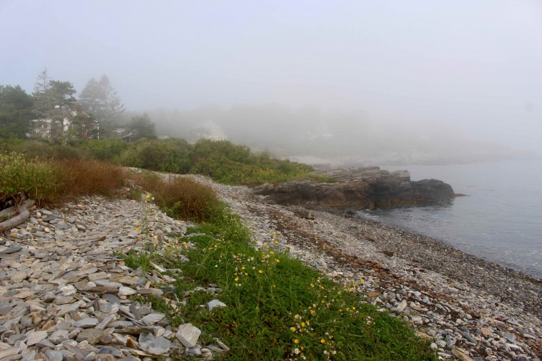
Photo Credit : Annie Graves
Prouts Neck | Scarborough, ME
The little peninsula that once provided the backdrop and inspiration for the legendary painter Winslow Homer is still stirring the souls of visitors today. One of the best ways to experience its rugged, boulder-strewn beauty is via its cliff walk. From the route’s starting point near the Black Point Inn, you’ll walk a roughly 1.5-mile-long loop around the peninsula, taking in both genteel historic homes and picture-perfect seascapes along the way. Today, the Prouts Neck Cliff Walk is accessible to all, artists and non-artists alike, a glorious gift to art lovers, who can stroll straight into Homer’s masterworks.
Menemsha Hills Reservation | Chilmark, MA
Salt marshes, sandy cliffs, swaths of beach roses — these are the sights that attract visitors to the Menemsha Hills Reservation’s 211 acres and 3 miles of walking trails. Wind your way through a forest of deciduous trees that quickly turns to pitch pine scrub, to dune grass, and finally to sandy cliffs and rocky shorelines. There, engulfed in the salty ocean breeze, you’ll find an uninterrupted view of the Elizabeth Islands from the second-highest point on the Vineyard, Prospect Hill.
What New England coastal walks would you add to the list? Let us know in the comments below!


