Hidden Trails of Cape Cod | Yankee Classic: April 2008
My husband worked for the trails division of Cape Cod National Seashore. He told me about the special places there that the public just isn’t aware of. The trails shown here aren’t included in park lit-era-ture, but it’s perfectly permissible to walk them, and they all have legal parking areas. I was surprised at the […]

Snail Road
Photo Credit : Shaw, Alison
Photo Credit : Alison Shaw
My husband worked for the trails division of Cape Cod National Seashore. He told me about the special places there that the public just isn’t aware of. The trails shown here aren’t included in park lit-era-ture, but it’s perfectly permissible to walk them, and they all have legal parking areas. I was surprised at the solitude I was able to find. I was feeling very Thoreau-esque … it was that quiet. After living on Cape Cod year-round for 22 years, I’ve become a bit jaded. A beach, I thought, is just a beach. I stand corrected: The trails I’ve hiked in the past few days have led to the most exceptional beaches I’ve ever seen on the Cape.

Photo Credit : Alison Shaw

Photo Credit : Alison Shaw
Snail Road
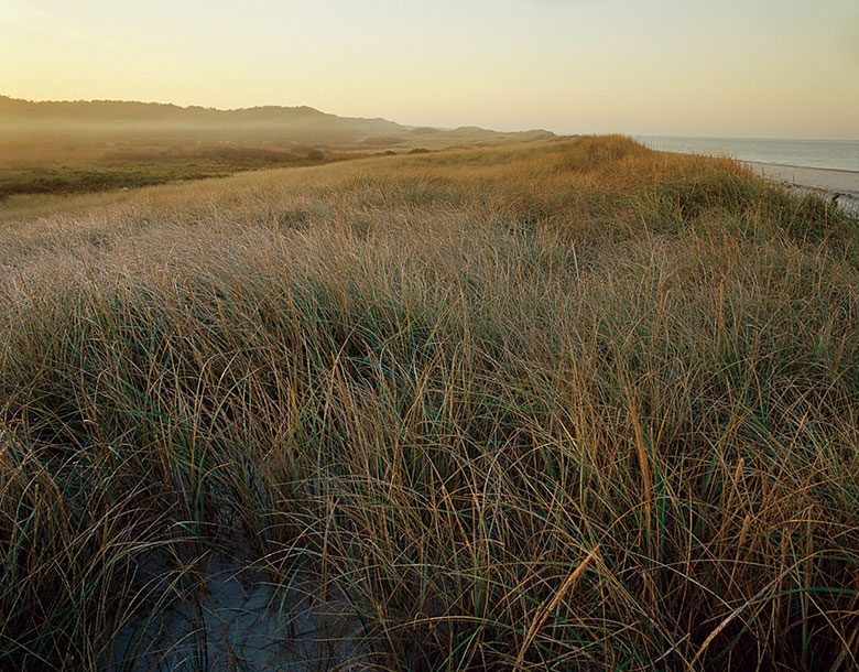
Take Route 6, heading toward Provincetown. You’ll come to an intersection, marked by a sign saying “To Route 6A, Provincetown,” with a small parking area on the right. Park in that lot and start hiking. This trek, along Snail Road (the only trail here, but it has no sign), requires stamina—it’s about 1.5 miles each way—difficult to say exactly, because the dunes are high and the sand is soft. The view from the summit blew me away. In front of me was the Atlantic; behind me was Cape Cod Bay and the peak of Race Point Light; and to the right, Pilgrim Monument was visible, as well as miles of rolling dunes. It reminded me of an Edward Hopper painting. I saw only one person on my walk, and the beach at the end of the trail was empty.

Hatches Harbor
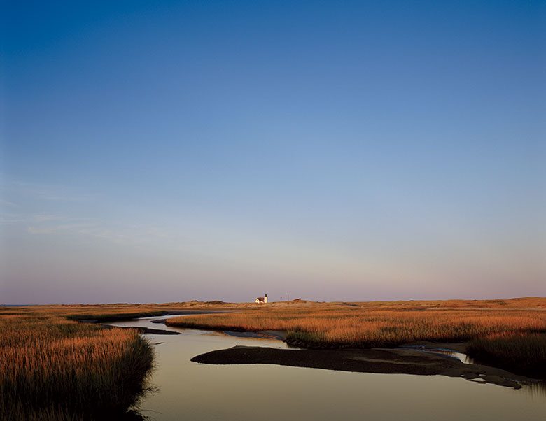
Take Route 6 all the way out through Provincetown, into Cape Cod National Seashore. Just past the parking area for Herring Cove Beach, you’ll find a small sand lot, where you can park. (If you have trouble finding it, go to the ranger booth at Race Point and they’ll give you directions.) The sign across the dirt track here says “Fire Road” (one of many throughout the Seashore), but it’s okay to walk it. This trek to Hatches Harbor, on well-packed sand and dirt, winds through a massive salt marsh. Views of Cape Cod Bay and Race Point Lighthouse are to the left. Views of a historic Coast Guard station and the Old Harbor Lifesaving Station are to the right. Pilgrim Monument is behind you. After about a mile, you’ll come to
water at high tide or flats at low tide. The flats aren’t muddy during low tide (and you can walk out to Race Point Light). If the tide should come in while you’re out there, there’s a road that’s used by oversand vehicles that’s accessible at all times. I didn’t see a single person during my walk. The total distance was about 31⁄2 miles.


Bound Brook island
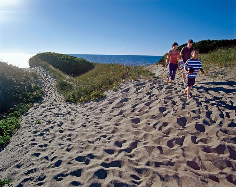
This easy walk is in Wellfleet. Turn off Route 6 onto Pamet Point Road, next to the gas station that Edward Hopper painted. (Look for the sign for the Atwood Higgins House.) Bear left at the first Y you come to. Then take a right onto Bound Brook Island Road. Park at the Atwood–Higgins House, a National Seashore historic site, and walk about a mile on Coles Neck Road to a small sand parking area on your left; it overlooks dunes and vegetation. Follow the footpath there for less than a quarter of a mile; you’ll pass between two dunes and pop out onto the beach. Across Cape Cod Bay, Pilgrim Monument in Provincetown is visible on a clear day. My husband and I went on an 80-degree day, and we didn’t see one other person on the walk; the closest people on the beach were at least 100 yards away. Part of this route is actually a sand road used by three seasonal houses, although no cars passed us that day.


