


The Mohawk Trail | The Ultimate Massachusetts Scenic Drive
New England’s first official “scenic tourist route,” the historic Mohawk Trail in Massachusetts, offers 60 miles of roadside fun.
By Katherine Keenan|Oct 18 2021|![]()
Coffee By Design | Portland, Maine
Photo Credit : Katherine KeenanAs far as New England scenic drives go, the Mohawk Trail has it all. With over 60 miles of scenery, small town stops, and roadside attractions, it’s no wonder that tourists have flocked to this western Massachusetts route for over a century. It’s also steeped in history: for many more centuries before it was formally dubbed “The Mohawk Trail,” Native American tribes used the path as a trade route. But since its formal debut on October 22, 1914, as New England’s first official “scenic tourist route,” many of the towns along this winding road have blossomed into bustling hubs of art and culture. As a result, unlike other scenic New England drives like New Hampshire’s Kancamagus Highway and Acadia National Park’s Park Loop Road, the Mohawk Trail offers numerous cultural attractions, shops, and lodging opportunities along the way. Now, nearby towns such as Williamstown, North Adams, and Shelburne Falls provide visitors with ample opportunity to linger and explore. Ready to learn what it’s like to drive The Mohawk Trail? Read on!
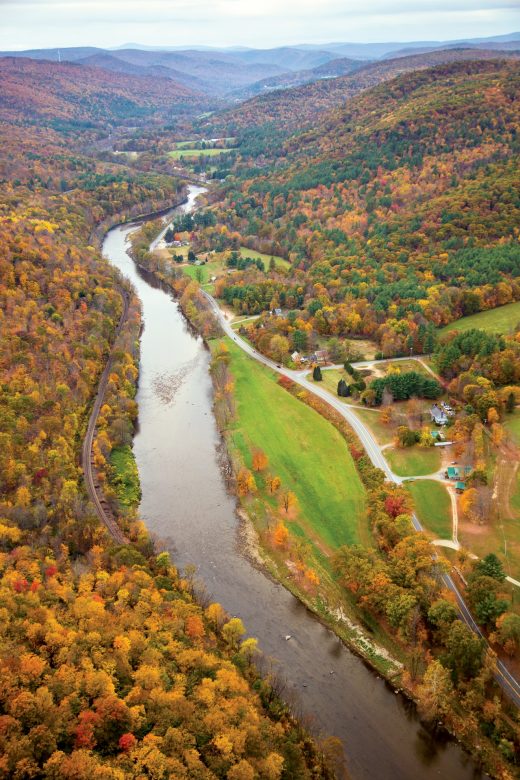
Photo Credit : Carl Tremblay
The Mohawk Trail | The Ultimate Massachusetts Scenic Drive
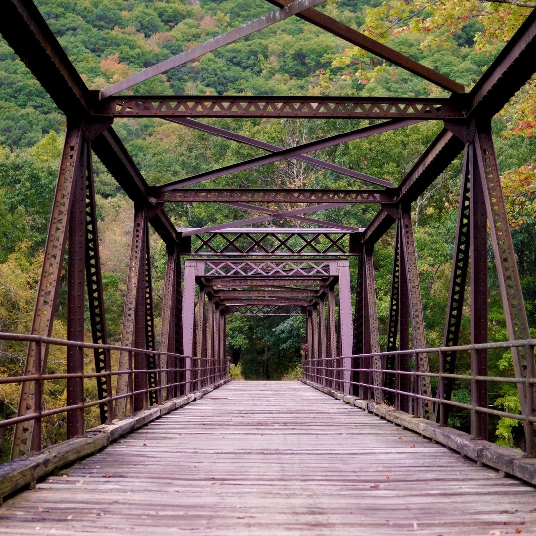
There are few roads in New England which attract visitors simply by being roads. Not only is this true for the Mohawk Trail now, but it has been true for many, many years. What now makes up one portion of Massachusetts’ Route 2 marks what originally served as a Native American trade path, and reminders of the trail’s long history can still be seen at many points along the way. When the automobile was invented, work began to transform the route into a gravel, single-lane road. After the official fanfare was over and tourists began to consistently drive the road, establishments began to pop up alongside. The route now winds through and past numerous Massachusetts towns and communities, a map of which can be seen below. That said, despite the many modern day conveniences which dot the roadsides, The Mohawk Trail retains much of its historic and rural charm. As Yankee editor Ian Aldrich wrote in the 2014 feature on the trail (which also featured the first aerial image, above, and the map, below), “There’s a restless quality to the road—it has no single identity. You’re on a mountain. You’re beside a river. You’re in a small town. You’re passing through farmland. You can buzz along at 50 mph, or just let yourself get lost, meandering off on some inviting side road.”
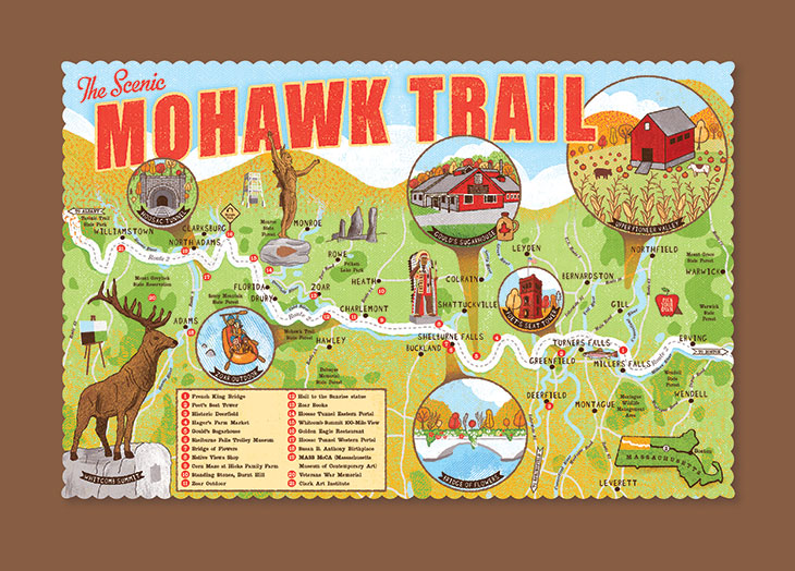
Photo Credit : Ian Phillips
The trail is also a medley of many of the region’s finest assets. Foodies will appreciate the trail’s many dining options, those in search of a beverage might enjoy visiting one the many breweries or cideries along the way, and coffee fiends will enjoy the many roadside coffee shops. Those in search of some fresh air will appreciate all of the trail’s natural beauty, since part of the trail runs alongside the Deerfield River and in the distance the Berkshire mountains can be spotted from many points along the way. The highest point of the route, Whitcomb Summit, overlooks surrounding towns and mountains and — like many points on the Mohawk Trail — is truly a photographer’s dream.
Take a journey down the Mohawk Trail and get the intel on some of our favorite roadside stops through the photos below, and learn more about the history of the Mohawk Trail by reading our 2014 feature celebrating the trail’s 100th anniversary.
The Mohawk Trail | Photos
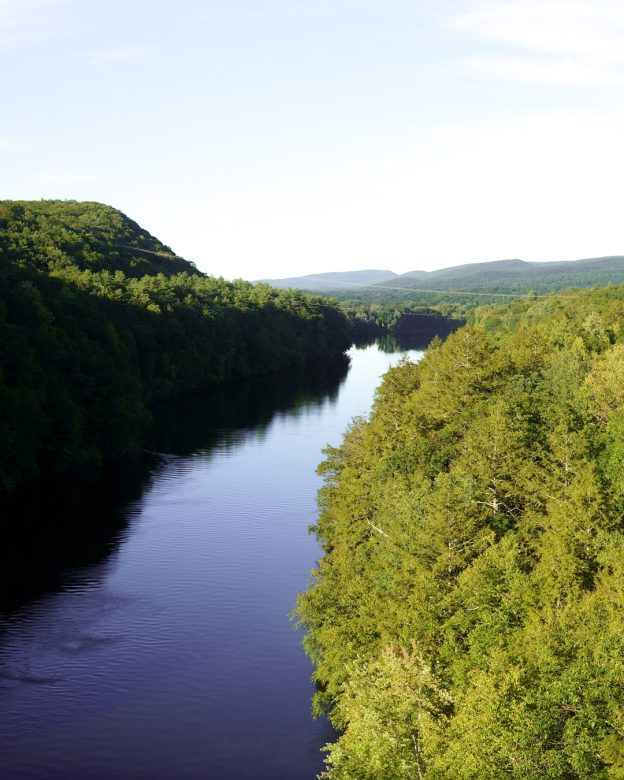
Photo Credit : Katherine Keenan
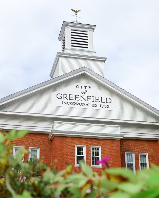
Photo Credit : Katherine Keenan
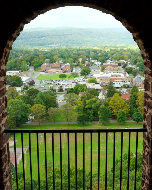
Photo Credit : Katherine Keenan

Photo Credit : Katherine Keenan

Photo Credit : Katherine Keenan
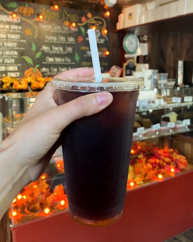
Photo Credit : Katherine Keenan
Photo Credit : Katherine Keenan
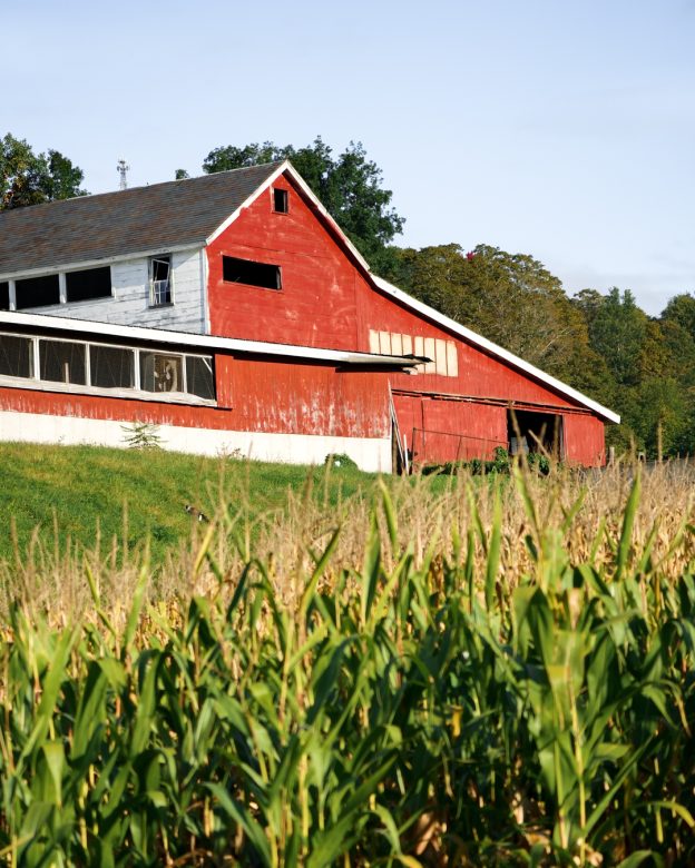
Photo Credit : Katherine Keenan
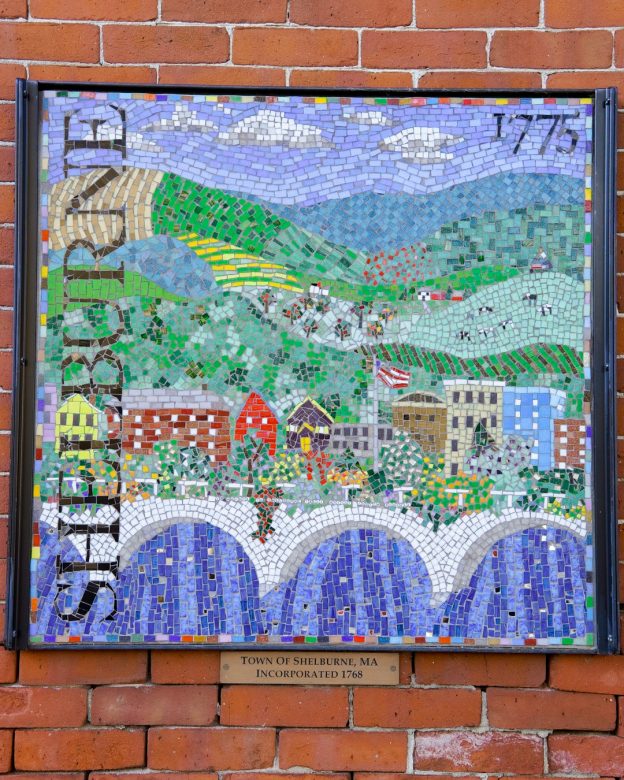
Photo Credit : Katherine Keenan
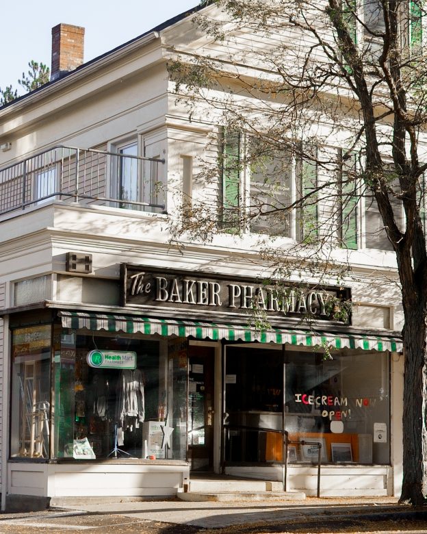
Photo Credit : Katherine Keenan
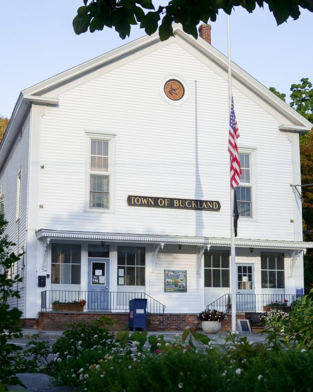
Photo Credit : Katherine Keenan
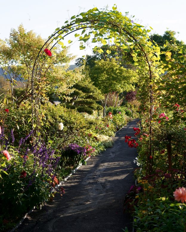
Photo Credit : Katherine Keenan
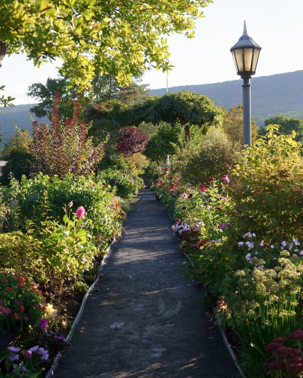
Photo Credit : Katherine Keenan
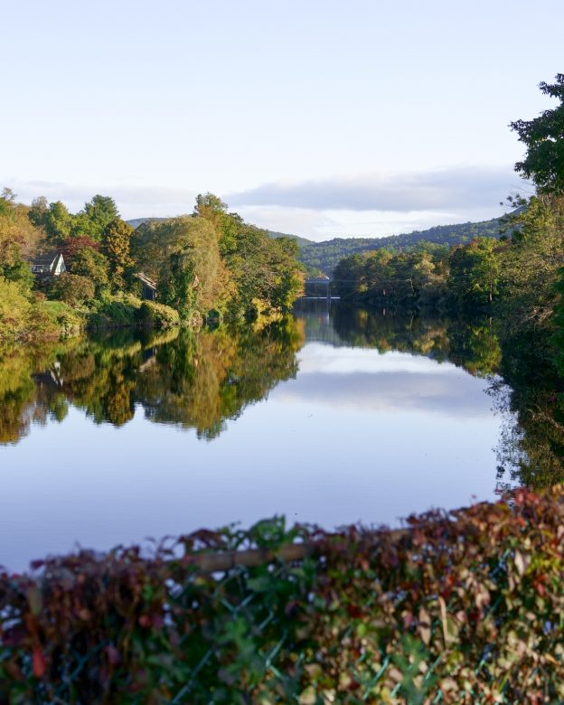
Photo Credit : Katherine Keenan
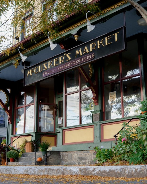
Photo Credit : Katherine Keenan
Photo Credit : Katherine Keenan
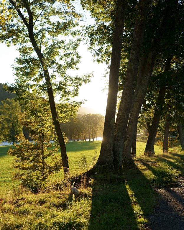
Photo Credit : Katherine Keenan
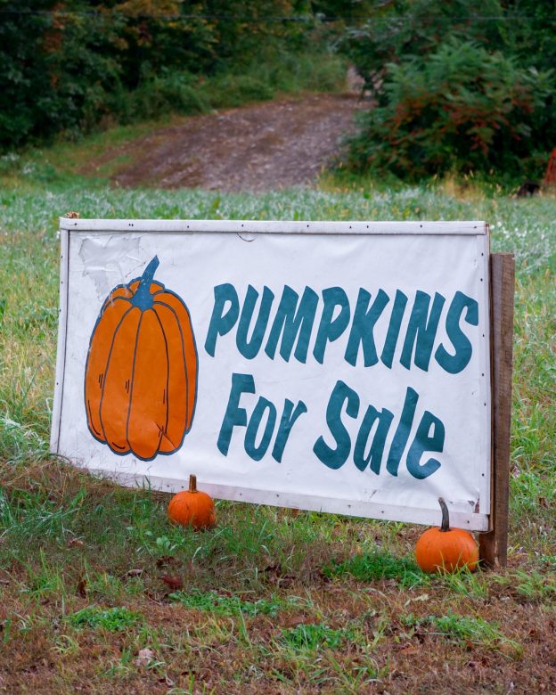
Photo Credit : Katherine Keenan
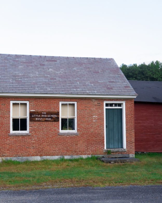
Photo Credit : Katherine Keenan
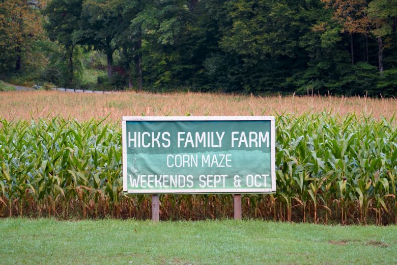
Photo Credit : Katherine Keenan
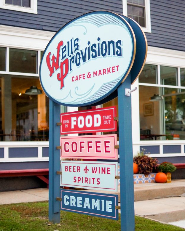
Photo Credit : Katherine Keenan
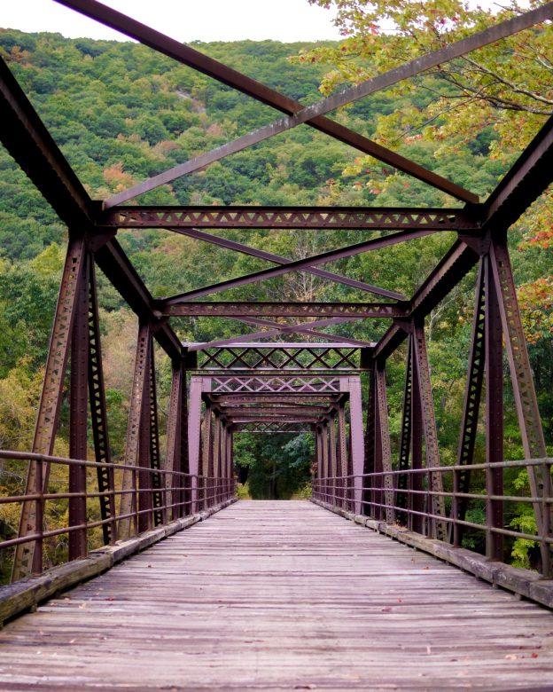
Photo Credit : Katherine Keenan
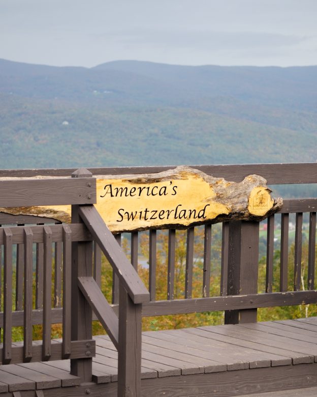
Photo Credit : Katherine Keenan
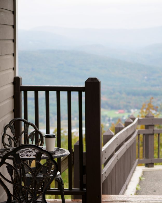
Photo Credit : Katherine Keenan
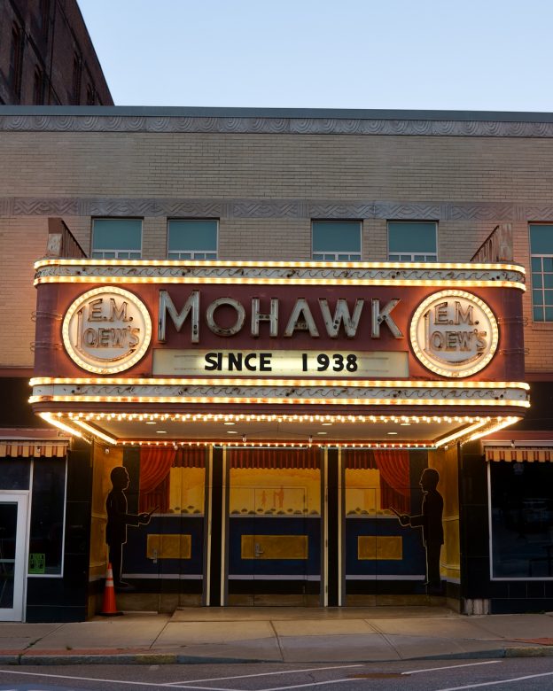
Photo Credit : Katherine Keenan
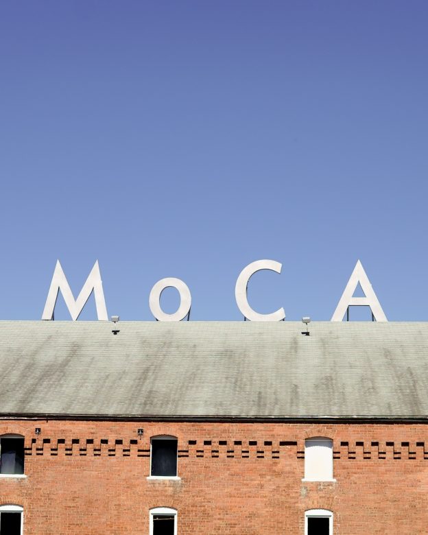
Photo Credit : Katherine Keenan
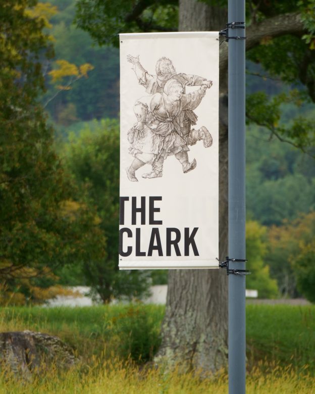
Photo Credit : Katherine Keenan
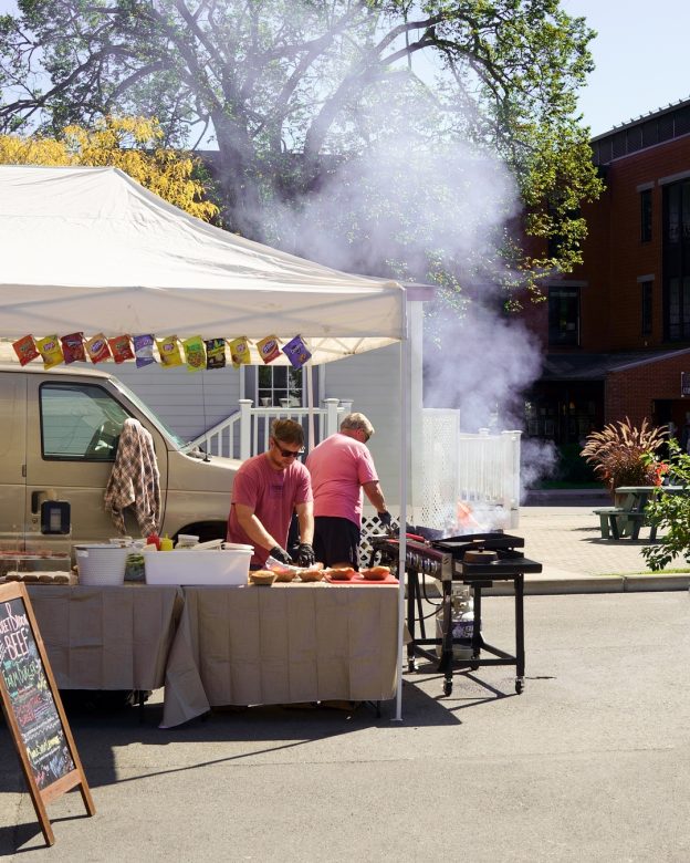
Photo Credit : Katherine Keenan
And that concludes our drive! Have you ever driven the Mohawk Trail? Let us know in the comments below!
SEE MORE:
14 Favorite Fall Drives in New England
Massachusetts Fall Foliage Guide
Prettiest Fall Foliage Villages in Massachusetts

Leave a Reply
You might also like...


Yes just on Sunday the 17th… Unfortunately the color was gone… lots of bare trees and green trees.. think we missed it by a week! But the drive is spectacular and we drove up Mt. Greylock (which was in the clouds, but still beautiful) and down the other side continuing our loop onto Route 9 through some nice towns and stopped at William Bryant Cullens Homestead and Chesterfield Gorge.. A lovely relaxing day!
One of my favorite drives in New England, absolutely beautiful !
I was born in Shelburne Falls and moved away when I was 5 years old. I was fortunate enough to be able to visit my Grandparents many times and have often walked the Bridge of Flowers. One of the little side trips we made was to visit the small town of Heath. The Maxwell family once owned a farm there.
Living in Adams Ma and having family in Eastern Ma I travel this road a lot and I love it it’s so beautiful even in the winter it’s a magical drive.
Love this ride! I think a article devoted to the best eats along the Mohawk Trail would be much appreciated!